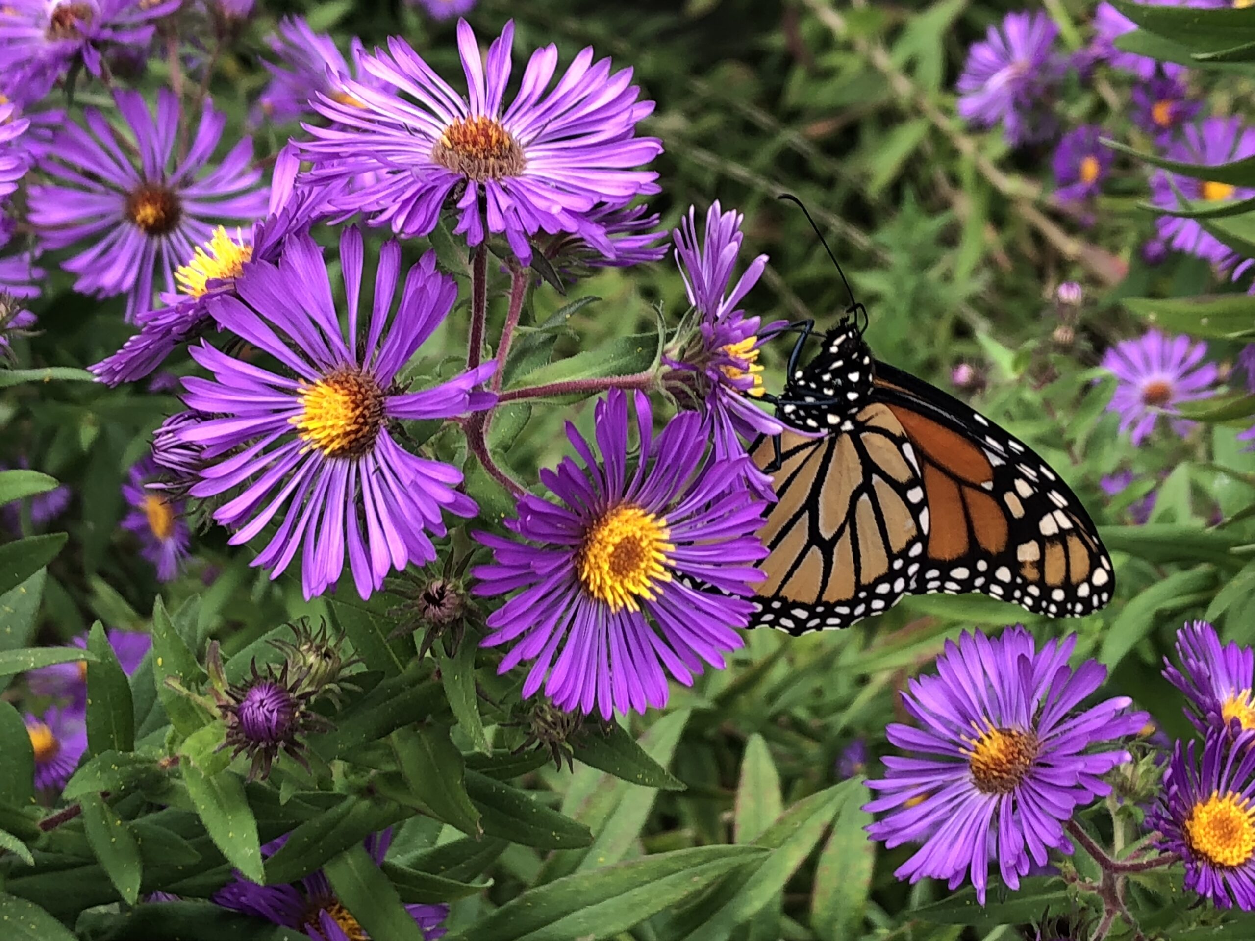
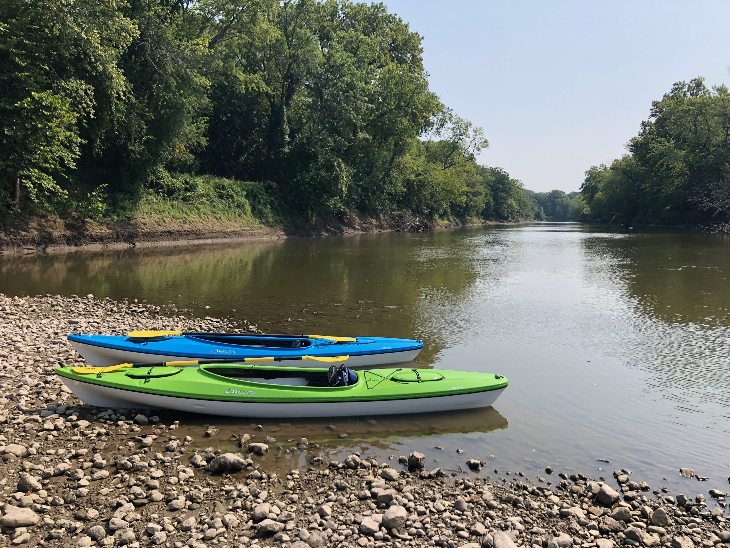
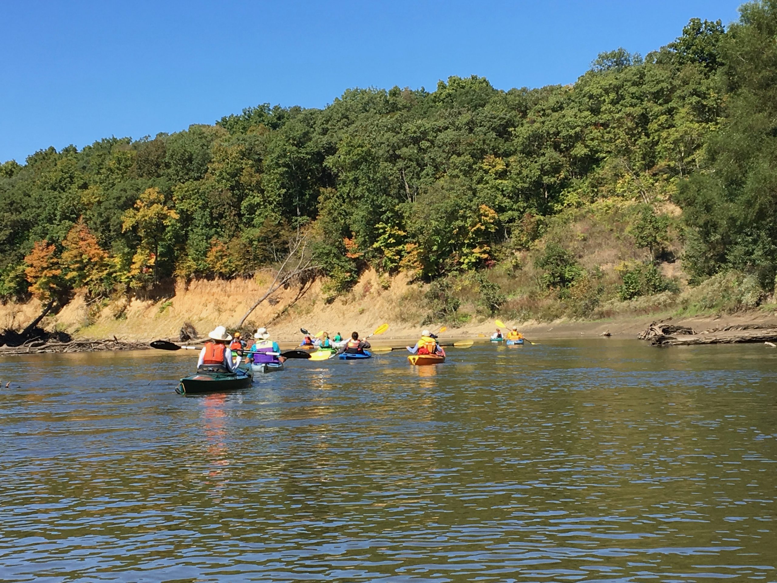
2023 Annual Fall Float

It was a beautiful day for a float on the Sangamon River!

This past Saturday, Menard County Trails & Greenways (MCTG) hosted its Annual Sangamon River Fall Float from Gudgel Bridge to New Salem.

Approximately 30 paddlers launched their canoes and kayaks in the afternoon and wound their way down five miles of river, taking in blue skies, crisp air, the beginnings of changing leaves, and even a bald eagle!

The river was a little low, but we managed to navigate around those really low spots.

Immediately following the paddle, everyone enjoyed a toasty campfire complete with hotdogs and s’mores.

The float would not have been possible without the help of many, including: Gudgel Bridge property owner, MCTG volunteers, the PORTA school district (who kindly provided our shuttle bus), our bus driver Tiffany, the New Salem State Historic Site staff for cleaning up the shelter before our event, and the American Canoe Association. A special thank you to Dave Hedrick for setting up the campfire and making the roasting sticks!

We hope everyone had a great time! See you next year!


Fall Float 2023

The 2022 Trails & Greenways Annual Sangamon River Fall Float was a great success! Forty floaters enjoyed the beautiful autumn weather and toasty after-float campfire.
Thanks to ALL who attended.
And thank you ALL who helped out to make the event possible: Jennifer Satorius, Libby Shawgo, David Hedrick, Chris Rudin, Doug VanNattan, Edie Sternberg, Karen Erchinger, Michael Wiant, Scott Hewitt, Dan Robertson, Peg Robertson and Terri Treacy.
Thank you PORTA (school bus shuttle) and Dairy Queen (hot dog trays).

2023 Fall Float

Image 1 of 7

Chris Rudin photo

Let Our Voices Be Heard — Build a Dedicated Hike & Bike Path Linking New Salem Historic Site with Petersburg

For years Trails & Greenways has advocated for a safe hike / bike path linking New Salem State Historic Site with Petersburg. The time has arrived to ensure this goal is finally realized.

Next Tuesday, June 21 from 4:00 to 6:00 PM at PORTA high school, the Illinois Department of Transportation will be hosting an open house public meeting about roadway improvements to IL 97 and IL 123 from New Salem through Petersburg.

The meeting will provide exhibits and maps  for viewing, and  IDOT representatives and consultants from the engineering firm of Thouvenot, Wade and Moerchen will be available to answer questions and gather public input about the project. 

It’s important that we show strong public support for a hike / bike path along Rte. 97. Please attend the public information meeting, and encourage your friends, family and neighbors to attend as well.

example crosswalkTrails & Greenways also advocates of a more walkable Petersburg.  We urge the  installation of two pedestrian right-of-way crosswalks along Rte. 97 at Douglas and Jackson Streets (main E/W streets downtown that cross Rte. 97). Having traffic stop for pedestrians in crosswalks will make walking in downtown Petersburg safer and more enjoyable for residents and visitors.

MCTG provides public comment on City of Springfield’s amended Supplemental Water Supply Project

On July 1, 2021 the U.S. Army Corps of Engineers issued a Public Notice addressing the City of Springfield’s amended Supplemental Water Supply Project. MCTG submitted the following public comment letter.

The project’s initial proposal was to build Hunter Lake Reservoir to the southeast of Springfield Lake as an auxiliary water supply. Springfield subsequently requested an additional Purpose & Need of the project to include Aquatic Recreation. Per National Environmental Protection Act (NEPA) requirements a Supplemental Environmental Impact Statement (SEIS) is being prepared to address the addition of Purpose and Need of Aquatic Resources. Under NEPA, the SEIS must evaluate all appropriate and reasonable alternatives, including, among other things, “Use of other existing surface water reservoirs for water supply and aquatic recreation opportunities.”

When considering existing aquatic recreation opportunities, the Sangamon River should be included as an appropriate and reasonable alternative to provide aquatic recreation in central Illinois.

August 4, 2021

Regulatory Division – Mr. James Kelley
U.S. Army Corps of Engineers
Rock Island District
Clock Tower Building
PO Box 2004
Rock Island, IL 61204-2004
 
Re: CWLP – City of Springfield
CEMVR-OD-P-2016-0095

Dear Mr. Kelly:
Menard County Trails & Greenways (MCTG) is responding to the public notice regarding the proposed Hunter Lake and the project specified above. MCTG is a non-profit organization in central Illinois that promotes the development and use of a network of land and water trails, such as the Sangamon River, for recreational purposes. 

MCTG supports the improvement of existing resources, including the Sangamon River, for local residents to participate in outdoor aquatic activities. Designated in part as the Lincoln Heritage Canoe Trail by former Governor Otto Kerner in 1965, the Sangamon is a rich historical and cultural asset to the communities in central IL. Despite its designation as the state’s first water trail, public access to the river – and its use – remains limited. Between Decatur and Oakford, IL, an approximate 100+ mile reach of river, only a handful of public access points exist. Compounding poor access are a number of unsafe low-head dams that impede recreation.
 
People want to be on the Sangamon River, evidenced by well-attended events that MCTG and other local organizations have held over the years, with permission from private landowners to access the river. MCTG hosts an annual fall paddle on the Sangamon and prior to this, the Lincoln Heritage Water Trail Association hosted an annual canoe/kayak race that drew participants from across the state. Improved and new public access points along the stretch of Sangamon that flows within the 50-mile radius anticipated to draw users to the proposed Hunter Lake would facilitate additional recreating on the Sangamon River, whether through organized events or private paddling. Enhanced public access, adequately funded and supported, would also facilitate wider appreciation of the river, thereby encouraging the conservation and sustainability of this historic river for the recreational enjoyment of generations to follow.
 
Jennifer Satorius
Vice President, Menard County Trails & Greenways

Public access to Illinois waterways

Illinois Department of Natural Resources working on the development of a revised State Water Plan.  The public is invited to review the recommendations by the Task Force of each critical issue and provide feedback to ensure that the project is addressing everybody’s most important water-related needs in IL. Virtual public hearings (identical) were held May 25-27 by IDNR at

https://www2.illinois.gov/dnr/WaterResources/Pages/StateWaterPlanTaskForce.aspx

Prior to the Live Meetings, DNR suggest that you listen to the Recorded Summary to obtain a brief overview about each of the 13 identified critical issues. The presentation has been provided in both a video or slideshow format to allow viewing options.

Recorded Summary Video Link:  View  Download

Recorded Summary Slideshow Link:  Link


Eric Freyfogle, Research Professor of Law, Swanlund Chair Emeritus, University of Illinois College of Law at Champaign, IL has offered his public comments for viewing. Download his comments here.

You can use the following public survey links to provide comments and input into the State Water Plan development. Public comments can be submitted through June 18, 2021 using the survey platform or by sending comments or survey responses to the email address below. 

Public Survey: link

Email link for any comments:  dnr.owrplanning@illinois.gov

Native American Trails

Shickshack Hill

Native Americans were the only human beings in Menard County for more than 10,000 years. Traces of their way of life in the form of stone tools and pottery sherds continue to be found throughout the county. Their legacy is also documented by trails—a path or track worn by the passages of persons traveling.

Identifying ancient Native American trails is difficult at best. Some Native American trail maps survive, such as the 1837 Ioway map, but they are extremely rare. Continue reading “Native American Trails”